Seattle Bike Month

Tags

, , ,


Seattle’s top bike commuting workplaces are all within 5 blocks of a protected bike lane or trail

My company, Comcast Technology Solutions, made the local Seattle bike blog news! Good stuff – it’s heartening to encourage folks to get out on a bike even after Seattle’s record breaking rain this year (45 inches since October).  I’m proud to work for a company that encourages folks to ride, and not worry too much about coming in wet, late, messy.  We have happy folks who ride!

Image

Winter Hills

Tags

, , ,


Late January rides are hit or miss in the Northwest, but when a nice day comes along, they may be the best time to be on the roads.  Little traffic greeted me a few weeks ago on a winter ride on Whidbey Island.

Screen Shot 2017-02-11 at 9.26.02 PM.png

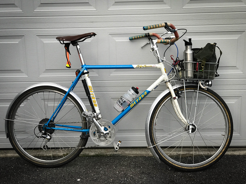
This one was to have some hills, and my bike was a fendered island bike – an old Miyata RidgeRunner Team. Not the lightest bike, but it seems to go as fast as I can go on anything this time of year. I have ridden a few of these hills recently, but wanted to try out Swede Hill on the south end of Whidbey.

Screen Shot 2017-02-11 at 9.26.48 PM.png

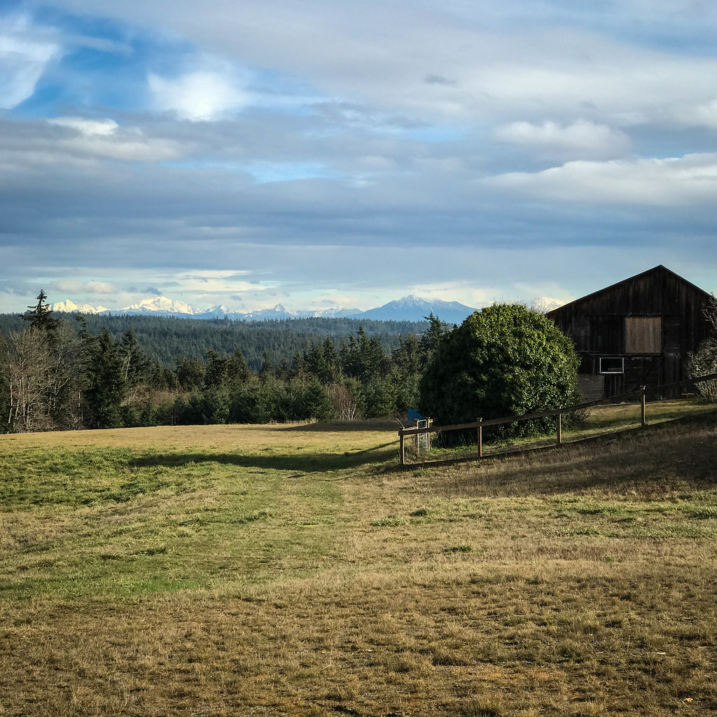
As the elevation graph shows, most of the big climbs were done in the first half of the ride. A couple were quite steep.  Swede Hill hit at about the 12 mile mark.  It went straight up from a picturesque beach area into a forested ridge.  No real views west, but this picturesque farm awaited me at the top.

BH-1.jpg

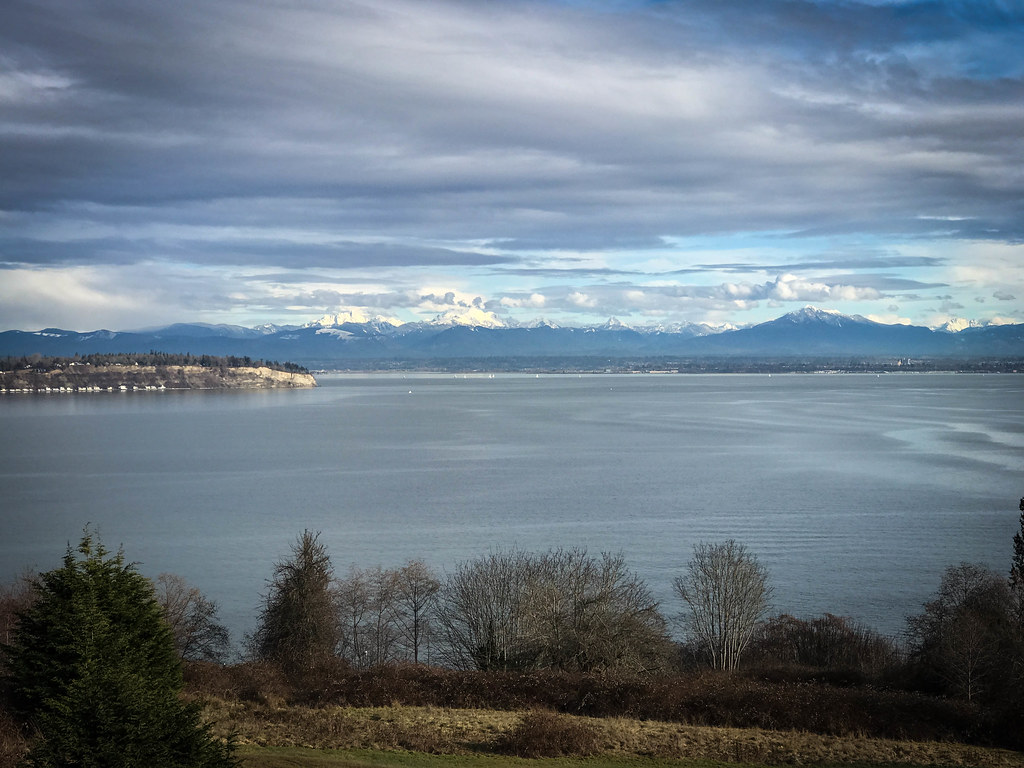
The next scenic stop was just past Clinton at the 20 mile mark.  This area of the island is mostly high bluff.  You can see Camano Island peaking out on the left.

BH-2.jpg

The mountains were out, and I had great views of the Olympics and the Cascades, but I find most roads on the southeast side of the island are buried in dense forest with sporadic scenic stops.

BH-3.jpg

This stop overlooked Baby Island – a small refuge where Holmes Harbor meets Saratoga Passage.  It is on a small dirt road with a mean, steep hill up to the main road near the end.  Very secluded, it offers a great rest stop and views north and east into the Passage.

BH-4.jpg

The next time out, I’m going to reverse the course and see how it works out.  It felt like a lot of work too soon going counter-clockwise.

BH-5.jpg

I shaved about 10 miles off what I had planned when the route got a little too close to the cabin. I was done. The hills had taken their toll…

Image

2016 Redux

Tags

, , , ,


This was an odd year.  A year where my wife and I turned 50.  A year that a new nationalism is taking hold in the world.  A year of great loss – it seems that a lot of folks relevant to my generation passed away.  This was the first time for me that “a year” has had a felt impact on me and many that I know.

On a personal front, it wasn’t so bad.  Business is good, I had some memorable vacations and trips, and I ended it out better than at the beginning.

The Crash” that curbed my cycling activity at the end of the year turned out ok, after all.  I even got my bike back the weekend before Christmas.

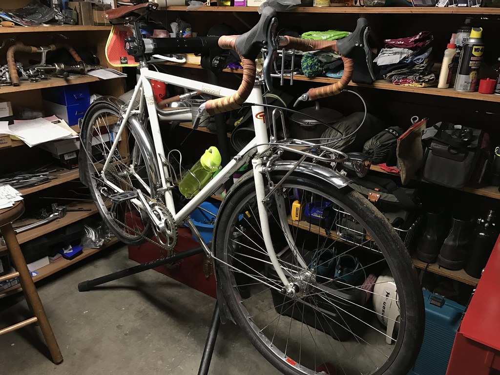
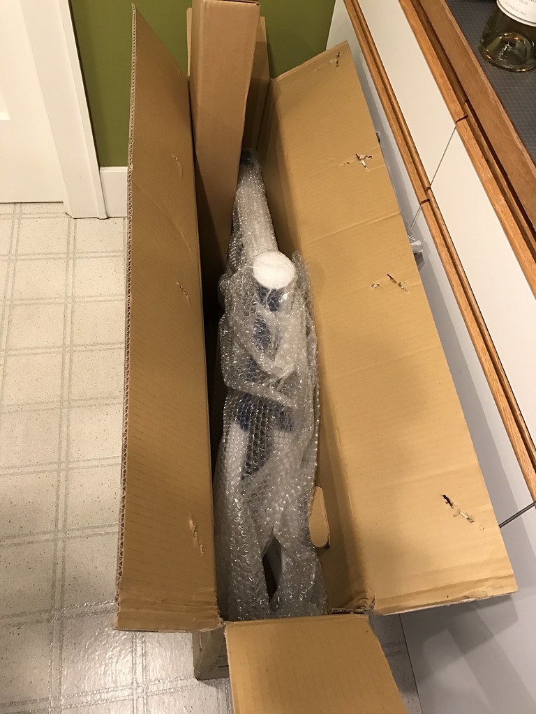
I received a call from a woman who said “I have your bike.  Your helmet, too!”.   After I picked it up, the new replacement frame I had ordered from the Toussaint boys showed up, so now I will have two bikes in place of one.  Hmmm – a nice porteur would be a  great bike to have around…  I feel extra lucky to have come out of that mess the way I did!

As far as stats this year, I rode 2156 miles in 254 trips.  Average distance was 8.5 miles with an average speed of 13.5mph.  Unlike past years, there was no dip in the summer months – I did more riding in the nice weather this year than I have in the past.  My May Bike Month was the tops at 372 miles in 85 trips, but there were 8 months over 200 miles.  The vast majority of this was commuting.  No rando events, and only one S24O bike pack to Fort Ebey.

stonehog-23.jpg

I’m looking forward to getting back into bike fitness in the new year, and will try to start out with more interval training early on.  I want to do the winter training series that the Cascade folks put on with help from SIR.  Hopefully the schedules work out.  There are also a lot of backroads in WA that need exploring, so I look forward to some good times ahead.

Happy New Year!!

IMG_0164

Image

Crashing

Tags

, , ,


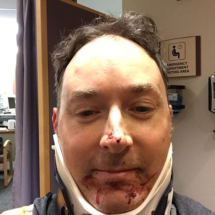
I had my first real accident of any consequence last night on my commute home. I was heading to our cabin for the weekend.  It started with a short ride to the Sounder Train heading north to Mukilteo.  From there, a quick ferry crossing to the island set me on my way.  The climb up the hill from the landing was great, and when the land leveled out, I found myself speeding along the fast route home – Hwy 525.  I was going to take the route all the way to Freeland, but decided to take the more hilly passage over Lancaster Rd, as I was trying to get away from the sporadic traffic, and it offers a nearly car-free alternative. It also offers a nice climb with a great descent to Mutiny Bay Rd very near my destination.  The last part is a nice ride along the coastline.

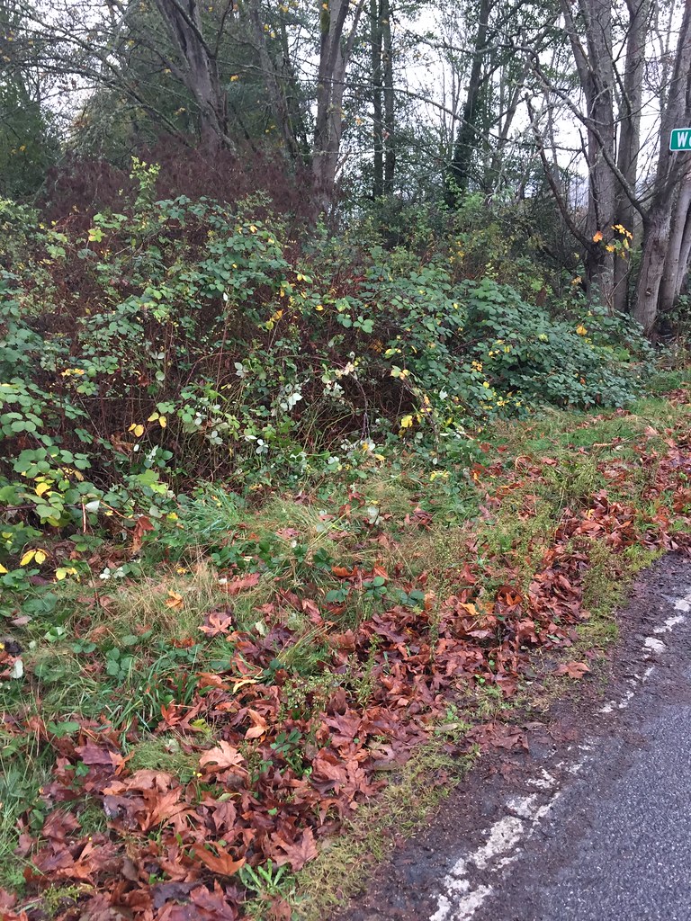
The climb was good, but the descent was better!  I love that hill – there is a second climb up to a false summit on the west side, so I tucked and hit max speed.  On the other side of the second summit, there is another nice drop, and I recalled it turning right near the bottom.  It had started a light sprinkle, but the roads weren’t wet yet.  The bigger problem was that I was outpacing the throw of my light.  As I neared the bend, I started to brake, but the wheels slid, so I let off and started pumping the levers.  I quickly realized I was going too fast to make the corner, so I started picking my line while trying more brakes.  As I went off the road still going about 20mph per my cyclemeter app, my bike and I pitched into a dense blackberry thicket, with me going in head first over the bike.

Crash site

That hole is where I crawled out

I remember a fast deceleration and my head tucking under my body.  I heard and felt a loud spine crunching sound as I came to rest in a panic.  I immediately thought I had damaged my neck or spine somehow – no head trauma, but my limbs were still there, and I could move.  I fished the phone out of my pocket as well as I could – I was quite entangled in the vines.  I called my wife and told her the bad news and asked for a pickup, giving her the rough directions to where I was.  After hanging up, I started trying to get up, but it took several minutes of untangling myself from the bike and the vines.  I remember looking out of what seemed like a briar tunnel.  I was able to get up, but my neck was very sore, and I was worried about spine damage, so I just stood there.  After a minute or two, Jan called me, and I saw her car lights.  She got me in the car, and tried to hide my bike in the ditch, and we made our way to the ER for 4 hrs of waiting, x-rays, and worry.

If you crash at 30mph, brambles are a good airbag.

Neck brace gone, and blood cleaned up – will have some killer scars…

Long story short, I was just fine.  No broken bones, and a couple tylenol for the road.  Unfortunately, when we returned for the bike, it was gone.  Lessons (re)learned:

  1. Slow down when you know a bend is coming – don’t wait until you can see it.
  2. Don’t rely on your lights to help – especially when they are not projecting far enough based on your speed.
  3. Don’t bomb a hill at night even when you have been down it several times before with no incident – if the conditions are not perfect – no sense in the extra danger – could have been a car or a deer in the way.
  4. Don’t leave a perfectly good bike in the ditch for more than a few minutes…
  5. Don’t let it stop you from what you enjoy – went out for a short ride today.  Still feels great to be on a bike!

P.S. if you see a white Velo Routier (Cycles Toussaint) on Whidbey Island, please drop me a line…  Link to Bike Index

Image

Whidbey Island Out(n)Back

Tags

, , , , , , , , , ,


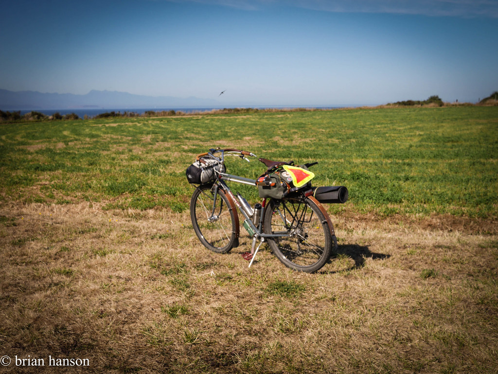
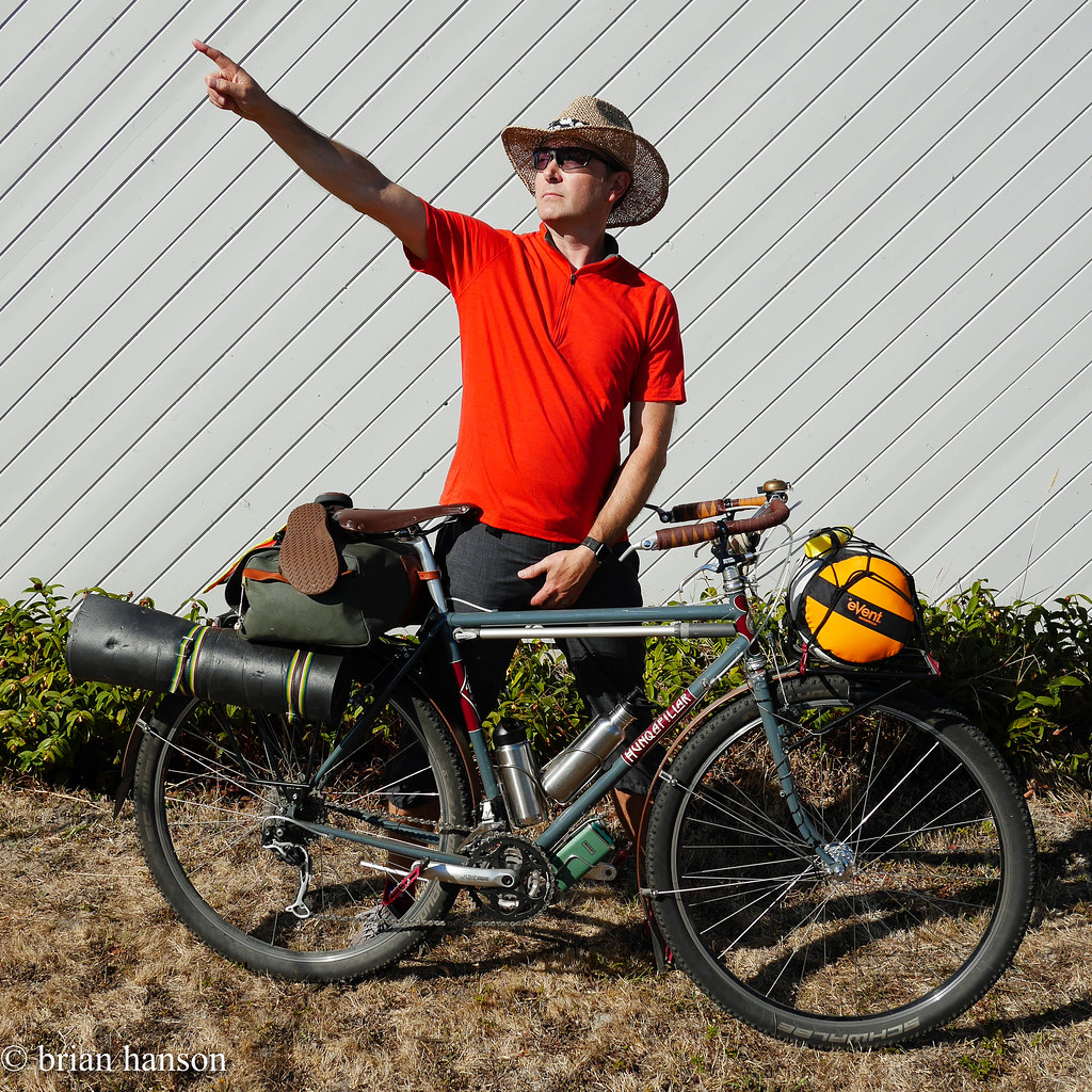
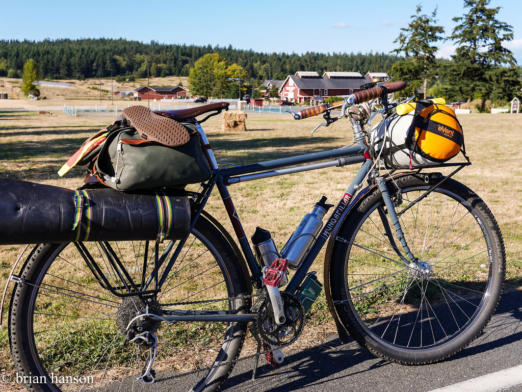
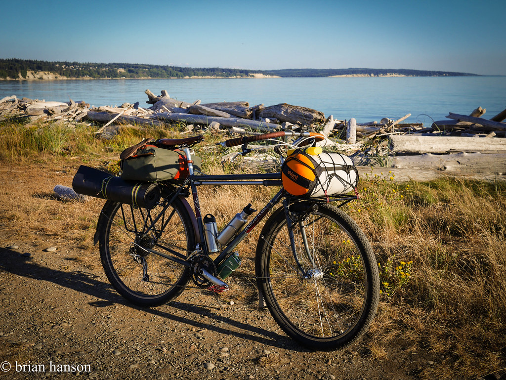
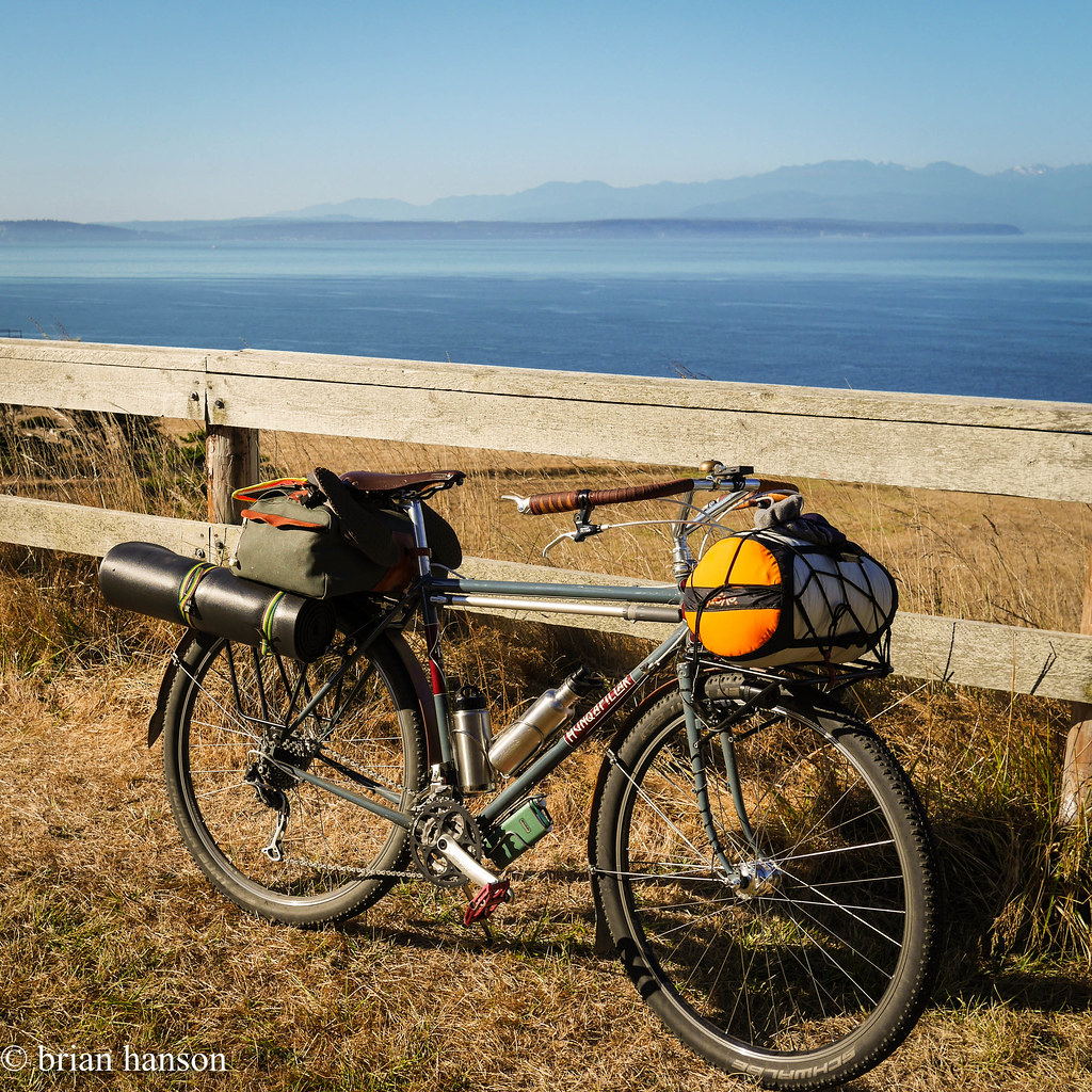
Not much action on the camping front this year, so I grabbed a chance to do a quick overnight (S24O) from my place in Freeland, WA up to Fort Ebey.  It’s about 30 miles one way, and a great chance to try:

  1. Hunqapillar on singletrack
  2. New road exploring
  3. Hammock camping

This also echoes the distance of a Lake Crescent trail I want to do later this year.  That gig is mostly singletrack, but I would use the same equipment.

I got underway around 4:45pm on Monday.  I figured it would take 2-3 hours, so I would likely have light to set up camp.  John and I had explored Fort Ebey’s mtb trails a few days earlier, so I knew where the hike/bike campsites were.

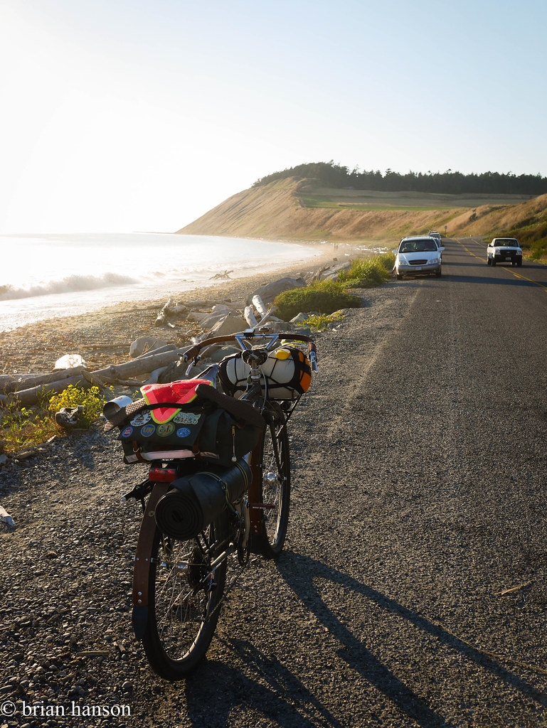
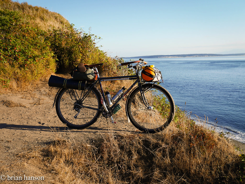
I packed light. There was a burn ban, so I didn’t bother bringing a stove. Just 2 water bottles, a toaster pastry for breakfast, and a can of salmon for dinner. Easy. I wore the clothes on my back and brought along a pair of wool long underwear for sleeping. No rain in the forecast. Other than that, just my hammock, fly, sleeping bag and roll. Oh yeah – I strapped some sandals on, in case the feet got sore, but that was just unused extra weight. I think the whole thing weighed in under 10 pounds.


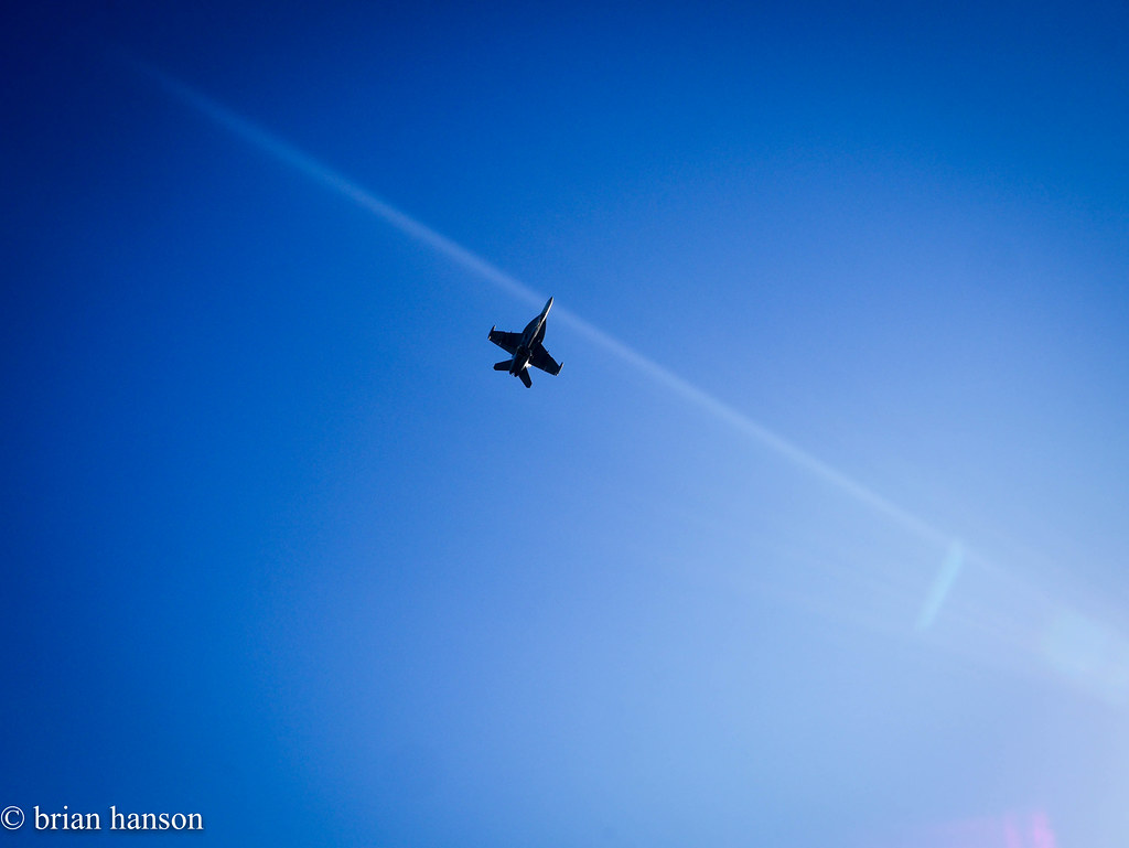
The way up was stunning and uneventful. Heading north, I passed South Whidbey State Park, and Greenbank Farm. The stretch from Greenbank up to Coupville had some great hills and views, and the Navy Growlers were out practicing on the outlying field near Admirals Cove.


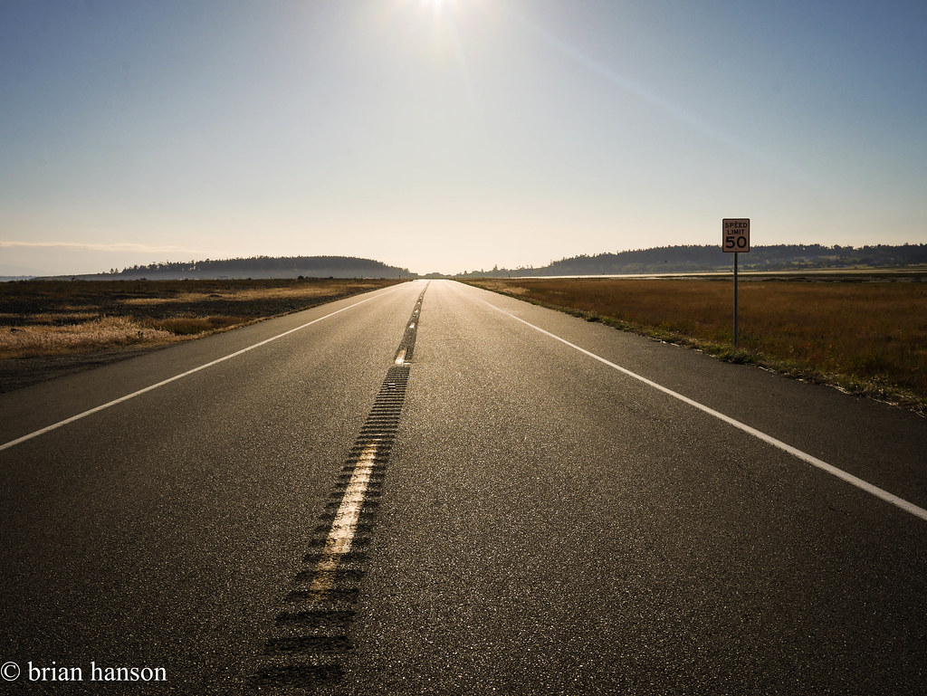
The long stretch across Keystone to Fort Casey yielded a few seals and many sea birds, but I saw not much traffic on a Monday night.

I searched through Fort Casey for a back route, and thought I had it following a gravel trail by the lighthouse, but it ended in a private road. I left it to chance, and wasted a few minutes, but it was worth the views.

stonehog-9.jpg
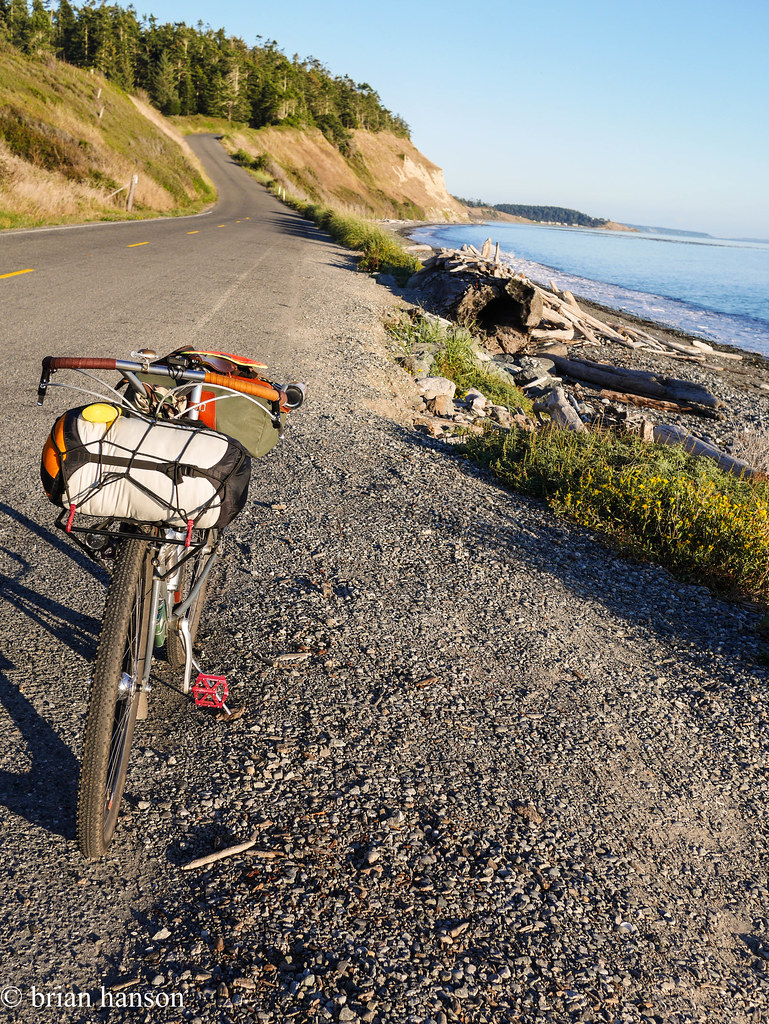
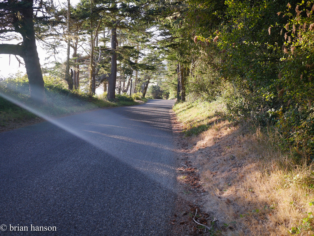
stonehog-10.jpg The road down to Ebey Beach is amazing – no shoulder, but equally no cars.
stonehog-11.jpg

Sunbeam!


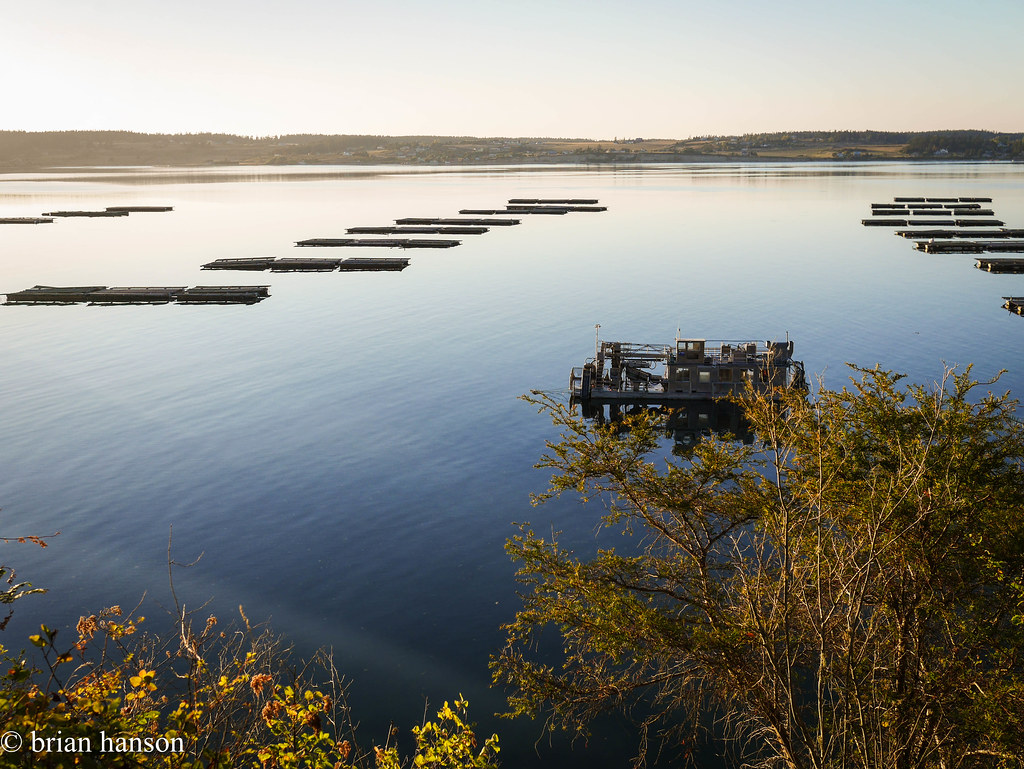
After a short hop up to the bluff, and across an amazing open farming area, it was a quick ride to the new pavement of Madrona Way past the mussel farms in Penn Cove.
 

stonehog-14.jpg

Penn Cove Mussels come from here!

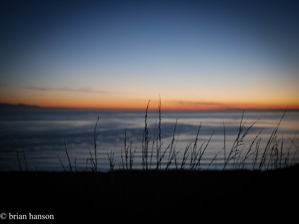
At this point, I was starting to worry about sunlight – it had taken me about 2 1/2 hrs to get this far. I hurried on into Fort Ebey State Park, and set up the hammock. There was one other person in the hike/bike spot – a Pacific Northwest Trail through hiker. After a dinner of canned salmon on the bluff overlooking the Straights of Juan de Fuca, and a great sunset, it was off to bed.

The next morning was sunny, so I geared up and chatted with the hiker to learn about his journey. He was a 65 years old Granite Falls, WA resident, and 7 weeks into the trail that started in Glacier National Park. After 8 bears (one grizzly at about 10 yds), a pack of wolves, and countless coyotes, he was just heading to the ferry to Port Townsend to have a lunch reunion with his wife before finishing the last 150 miles to Cape Alava.

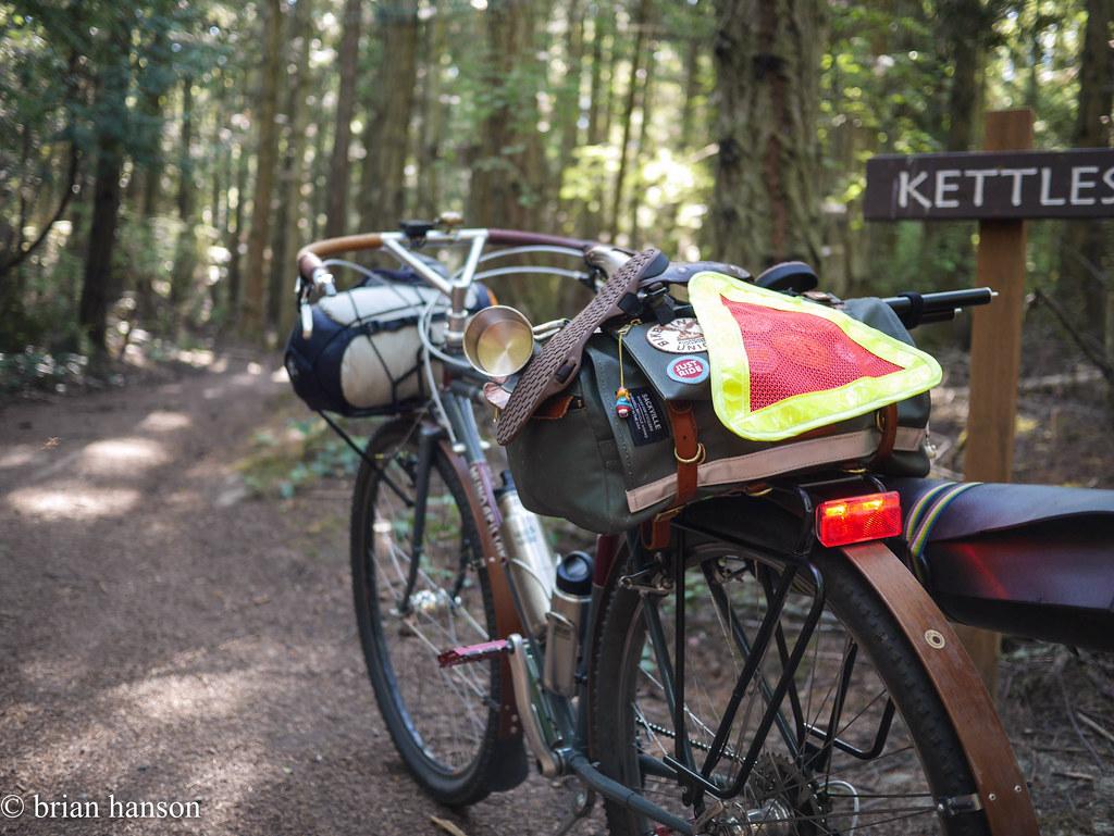
After a nourishing breakfast at the same scenic overlook on the bluff and a water bottle refill, I was off to ride the Kettles trail on the loaded Hunq!

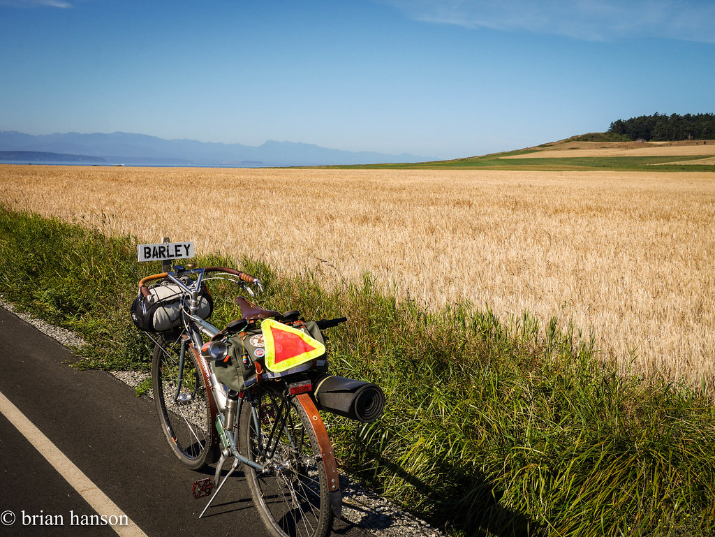
Needless to say, the Hunq made short work of the trail, and I found myself heading back south and past the barley fields to Ebey Beach.
stonehog-21.jpg

At the whisky source

stonehog-24.jpg

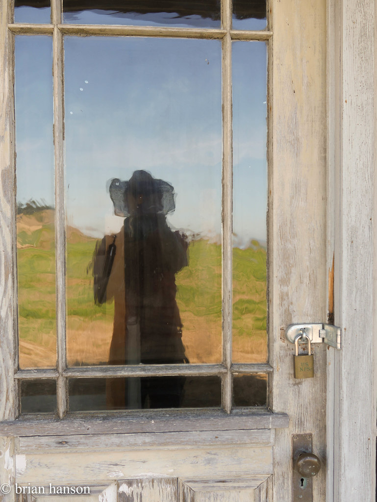
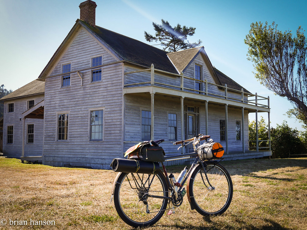
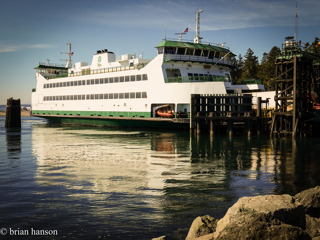
stonehog-22.jpg I stopped at the old “Ferry Building” on the bluff to explore and take some pics, then it was back down to Keystone, Greenbank, and finally back to Freeland for some rest and a meal. stonehog-28.jpg
stonehog-27.jpg

Route out and back are here:

http://cyclemeter.com/51cfa6724f84c700/Cycle-20160822-1639

http://cyclemeter.com/51cfa6724f84c700/Cycle-20160823-0934

Ebey trip out